

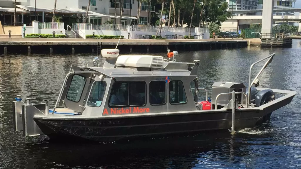
Single and Multibeam Hydrographic Survey
Reliable and efficient survey planning, data acquisition, editing, data processing and volume calculations.


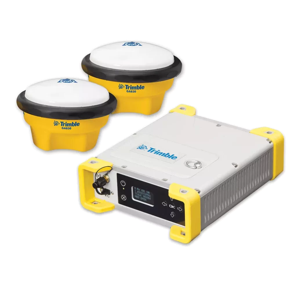
Marine construction presents its own unique challenges and requirements. No matter how complex your project, Trimble has marine construction hardware, software and positioning sensors to help you meet and exceed them.
With Trimble marine systems, dredge to an exact depth, dump dredged material in a defined location and confirm depth with a multibeam hydrographic survey.
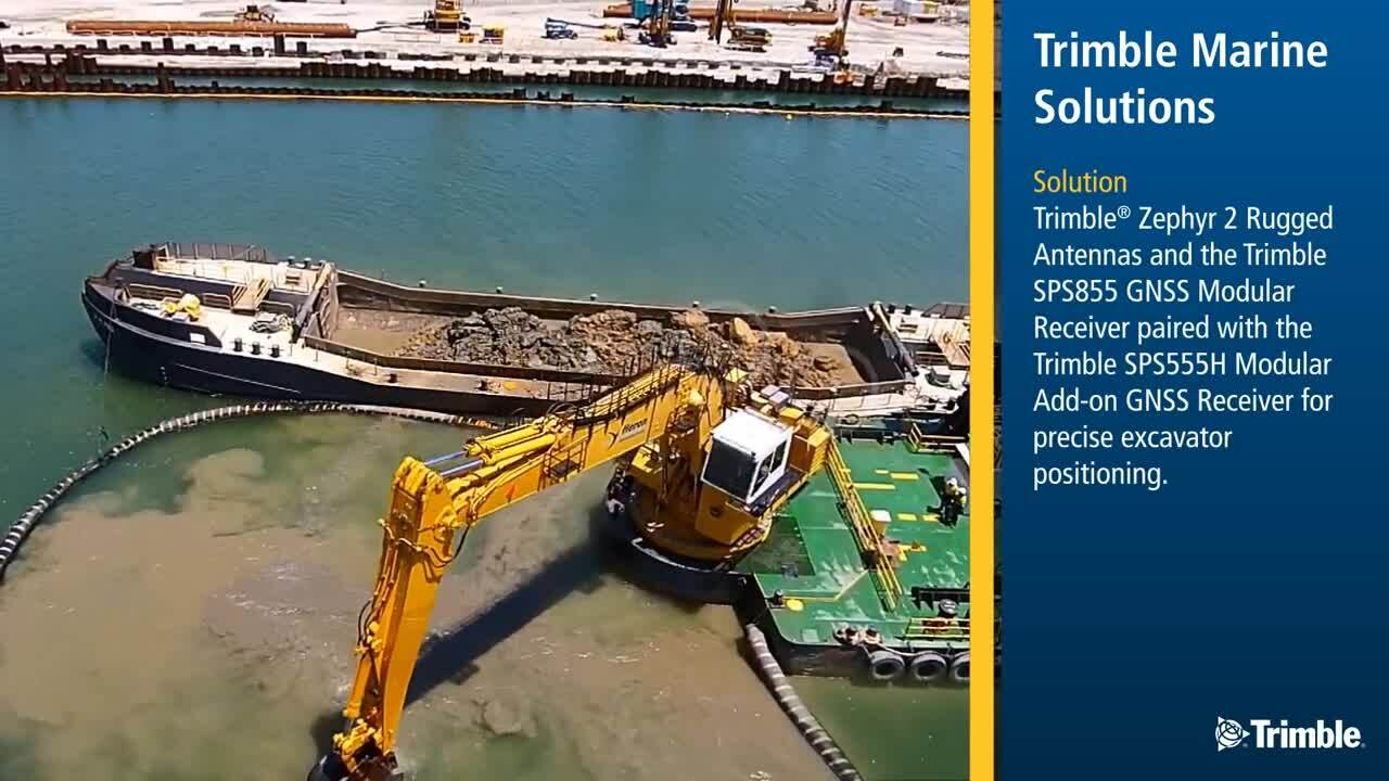
For permanently installed GNSS heading and positioning solutions or a flexible system that can be quickly deployed to different vessels, Trimble offers a range of receivers offering cost-effective solutions.
Monitor water level changes in real-time, providing a more precise and cost-effective solution than conventional methods.
When connected to the receiver, Trimble Marine Construction Software can compute real-time water level calculations, removing the need for tide gauges and associated radio links.
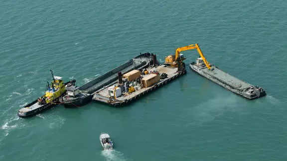
Components share a common interface so you can reuse data and accessories across multiple applications. They are compatible with marine systems from other manufacturers to integrate with existing hardware and workflows.
Trimble GNSS receivers can receive corrections from a traditional base station or other virtual sources.
Configure the MPS865 receiver with Trimble Siteworks field software to use on site and on the vessel for field rover measure up, base station set up and topographic mapping.
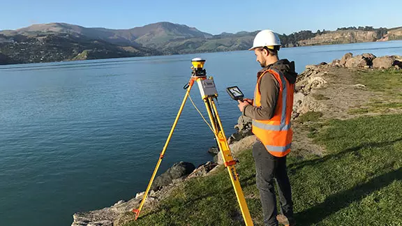
Trimble Marine Construction Software and Trimble Business Center offer workflows for all phases of onshore and offshore marine construction.
For dredging and construction, combine the MPS865 receiver with Trimble Marine Construction software for accurate 3D visualisation of the dredging process.
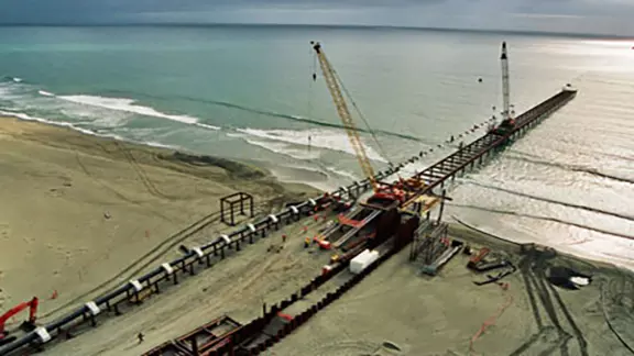
Monitor water level changes in real-time, providing a more precise and cost-effective solution than conventional methods.
When connected to the receiver, Trimble Marine Construction Software can compute real-time water level calculations, removing the need for tide gauges and associated radio links.
Components share a common interface so you can reuse data and accessories across multiple applications. They are compatible with marine systems from other manufacturers to integrate with existing hardware and workflows.
Trimble GNSS receivers can receive corrections from a traditional base station or other virtual sources.
Configure the MPS865 receiver with Trimble Siteworks field software to use on site and on the vessel for field rover measure up, base station set up and topographic mapping.
Trimble Marine Construction Software and Trimble Business Center offer workflows for all phases of onshore and offshore marine construction.
For dredging and construction, combine the MPS865 receiver with Trimble Marine Construction software for accurate 3D visualisation of the dredging process.
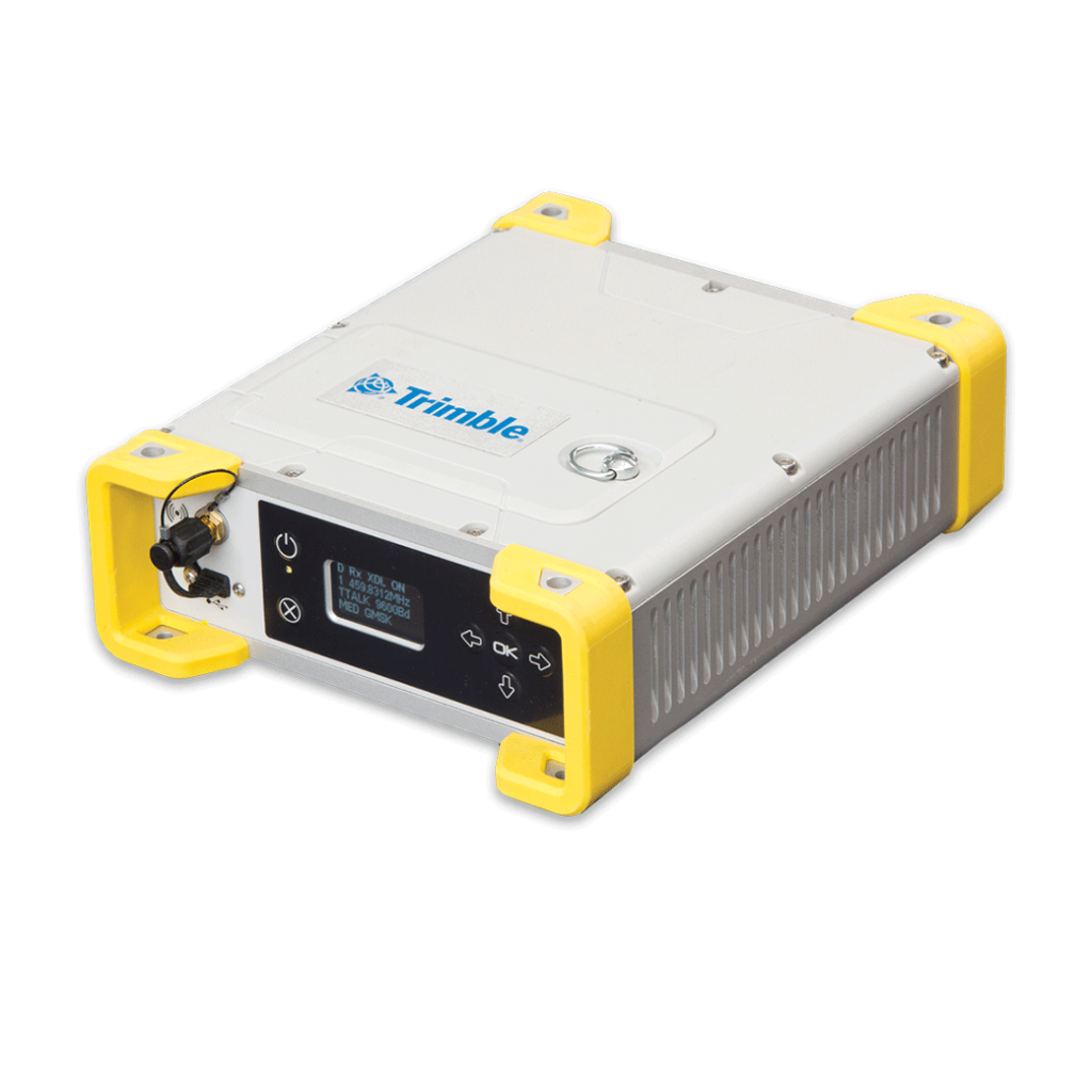
The Trimble MPS865 is a highly versatile, dual antenna, rugged and reliable Global Navigation Satellite System (GNSS) marine positioning / heading solution.
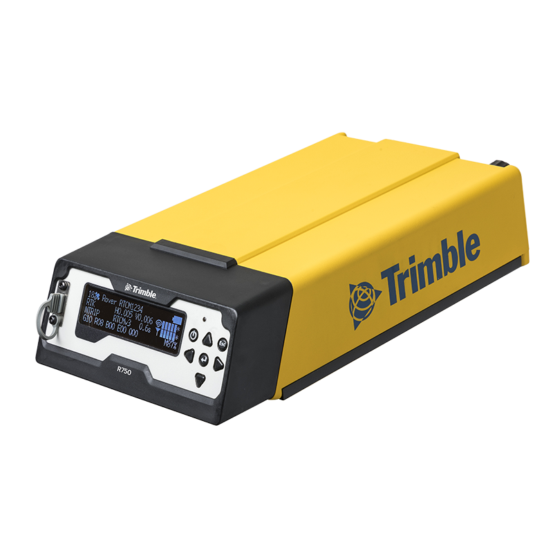
The Trimble R750 GNSS Modular Receiver offers numerous features and benefits for contractors involved in marine construction, including:
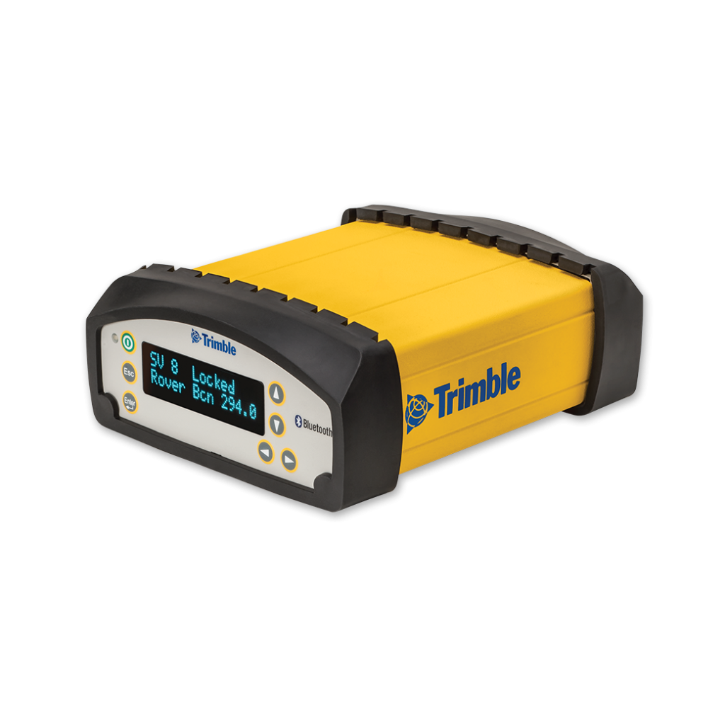
The Trimble SPS356 GNSS Beacon receiver is the next generation L1 Beacon receiver that is capable of using RTCM DGNSS (multi-constellation) corrections when available. The SPS356 includes Wi-Fi, Ethernet and Bluetooth capabilities, expanding system integration and connectivity options.
The SPS356 is an ideal solution for a wide range of marine construction applications including:
The SPS356 includes Wi-Fi, Ethernet and Bluetooth capabilities, expanding system integration and connectivity options. Using Wi-Fi, the SPS356 can be accessed using any device with an Internet browser, including smartphones or tablets, for configuration and monitoring.
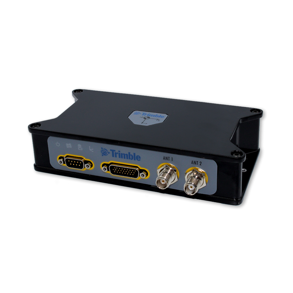
The Trimble Marine BX992 is a dual-antenna multi-frequency GNSS receiver with precise heading capability. The Marine BX992 comes standard with GPS, QZSS and GLONASS installed.The BX992 provides scalable precisions up to centimeter accuracy position in a compact package. By integrating the latest GNSS technology from Trimble, it provides robust high accuracy positions and orientation. It offers MSS L-Band support for Marinestar or Trimble RTX services so the BX992 delivers precise position without the use of a base station.
Dual Antenna Input
The dual antenna input provides precise heading compared to single antenna systems which have difficulty determining position relative to the object of interest, especially when dynamics are low.
Rugged, But Flexible Interface
The BX992 offers easy integration and dependability. The BX992 is built to perform reliably and rigorously in harsh environmental conditions.
Features
The TELEDYNE Z-BOAT 1800-T designed and manufactured by Teledyne Oceanscience is a high-resolution shallow water hydrographic unmanned survey vehicle with an Odom Echotrac E20 Singlebeam Echosounder and dual antenna Trimble BX992 GNSS heading receiver. Both sensors can be removed and mounted on other vehicles of opportunity to maximise data collection capabilities.
Collect survey data in previously inaccessible areas, from shallow to deep sea. The combination of Trimble’s precise heading and positioning/guidance paired with Teledyne’s accurate and precise sonars allow for best in class data collection under harsh conditions. Remotely view Z-Boat operations or processed data with Trimble Marine Construction software.
For more information, visit teledynemarine.com.
Reliable and efficient survey planning, data acquisition, editing, data processing and volume calculations.
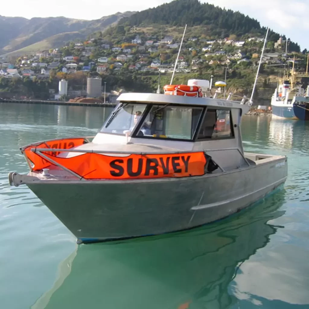
Perform your own pre-/post-construction hydrographic surveys.
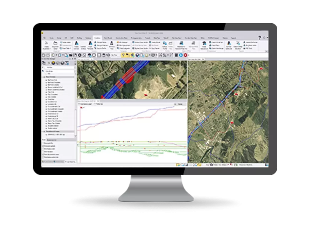
Make better decisions, decrease costly mistakes, and increase efficiency in the office and on the jobsite. Powerful tools help you quickly and easily create accurate, integrated 3D constructible models for construction surveying and machine control.
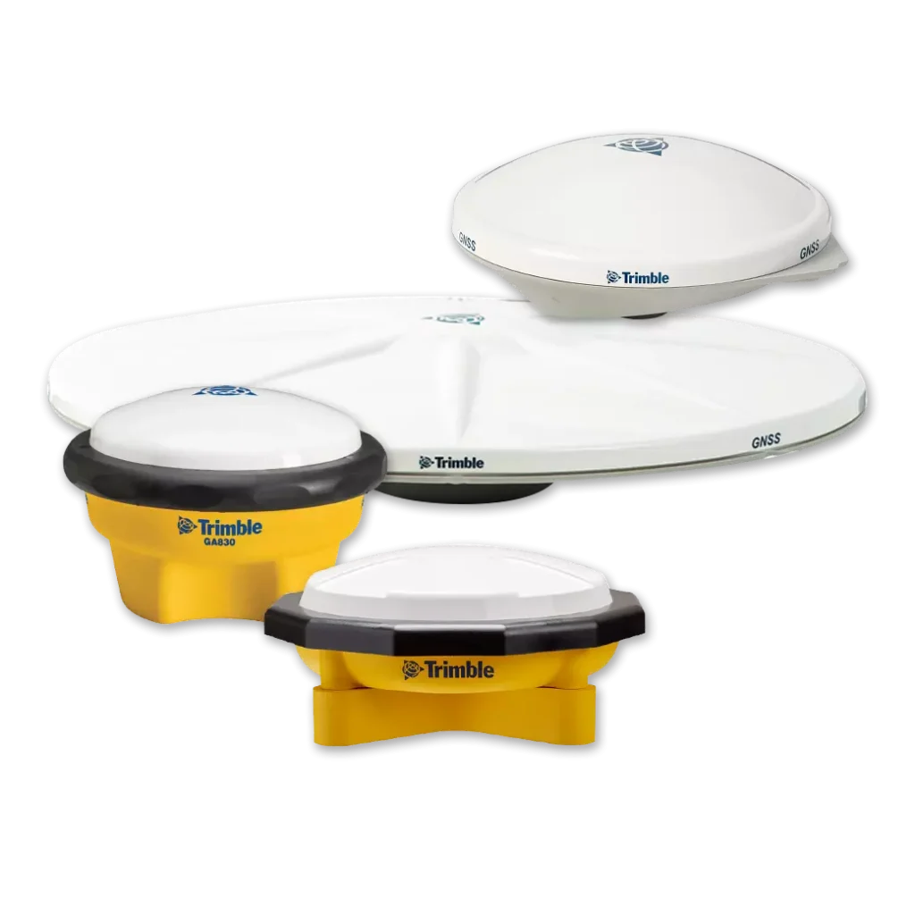
Trimble offers several models of GPS and GNSS antennas to suit your specific application, signal tracking and budget requirements.
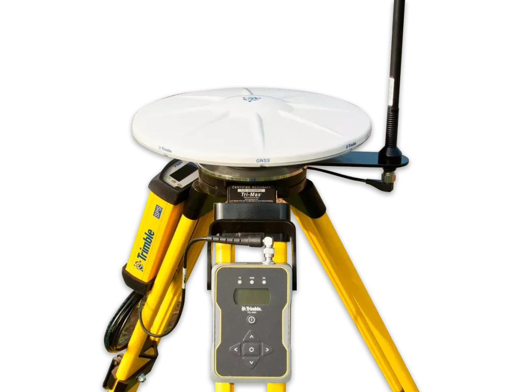
Your GNSS operations are only as good as your correction source, it’s important to choose the right one for your business.
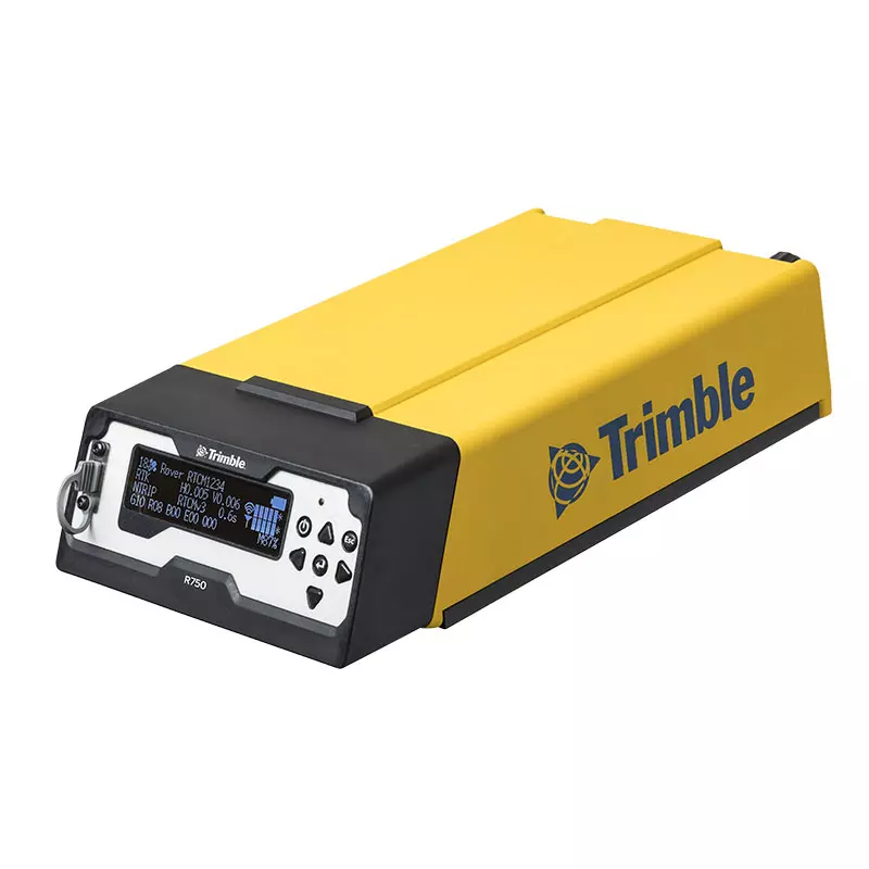
Save time, money and headaches with the Trimble R750 GNSS Modular Receiver, Trimble’s reliable, easy-to-use base station solution. With remote monitoring and alerts, an internal radio, LTE modem and rover capability, the R750 is designed to meet all your needs.
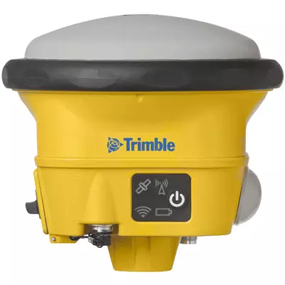
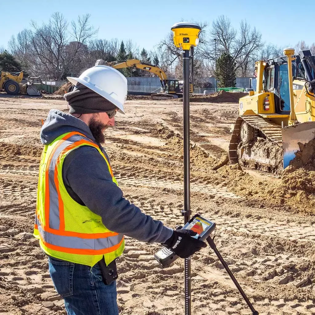
Trimble Siteworks Positioning Systems are designed to eliminate downtime by making every minute more productive. Handle complex files and 3D data sets quickly, so you can spot issues and solve problems before they slow you down.